New
Ley Lines Map Of The British Isles
An interactive map of the British Isles showing the route of some of the longest ley lines that have been generally accepted to be accurate.
Map Key:
.___. British Latitudinal Ley Line ‐ 565 miles
.___. St Michael's Ley Line ‐ 364 miles
.___. Irish West Ley Line ‐ 303 miles
.___. North West Ley Line ‐ 235 miles
.___. Aish Ridge Ley Line ‐ 219 miles
.___. Northern Ley Line ‐ 173 miles
.___. South Ley Line ‐ 168 miles
.___. South East Ley Line ‐ 155 miles
.___. South West Scotland Ley Line ‐ 138 miles
.___. North East Scotland Ley Line ‐ 138 miles
.___. Western Scotland Ley Line ‐ 130 miles
.___. Eastern Scotland Ley Line ‐ 117 miles
.___. Ring of Brodgar Circle Ley Line ‐ 116 miles
.___. Iona Ley Line ‐ 116 miles
.___. North East Scotland Ley Line ‐ 115 miles
.___. Mavis Hall Ley Line ‐ 114 miles
.___. Callanish Circle Ley Line ‐ 114 miles
.___. North Wales Ley Line ‐ 104 miles
.___. East Ley Line ‐ 86 miles
.___. Skellmuir Hill Circle Ley Line ‐ 75 miles
.___. North East Ley Line ‐ 59 miles
Advertisement ‐ Content Continues Below.
The interactive map above show several lines across the British Isles which are generally accepted to be the paths of ley lines. There are countless smaller ley lines dotted around the UK, but so as not to over complicate the map, we're just showing major ley lines that have been supported by several sources. If you'd like to know more about British ley lines, visit David Cowen's ley lines website, who over a 10 year period has followed over 3,000 miles of ley lines on foot.
What Are Ley Lines?
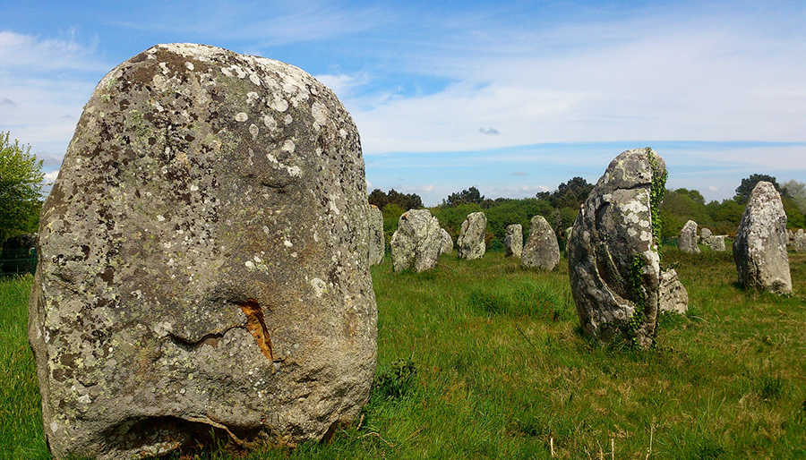
Photo: pixabay.com
A ley line is a completely straight line across the landscape that runs from one landmark of historic importance to another, and crosses through one or more similar landmarks along its route. It's often said that ley lines represent regions of earth energies and that is was no accident that these structures were built along the lines.
Whether ancient civilisations really knew about these lines is debatable, but the modern-day concept of ley lines comes from Alfred Watkins' book 'The Old Straight Track'. He wrote that let lines can be plotted between various historic structures and that these represented trade routes created by ancient British societies.
Ley lines start and end at prominent features and landmarks, these can be anything from a distinctively shaped high hill, a significant peak, churches, castles, or even the locations of ancient wells and worship sites. These are known as "terminal points" and can be highly visible landmarks through to sites where buildings or structures once stood.
The presence of a ley lines running nearby is said to cause an increase in paranormal activity and buildings on ley lines are often said to be supernatural hotspots, especially those built at the sites where two ley lines cross or meet.
In recent years ley hunters have uncovered similar lines in North and South America, as well as China, Australia, the Middle East, India, and parts of Africa.
The ley lines marked on our map are those which are the most generally accepted, the best fits, the best known, and the longest. There's further details on the lines that feature in the map below.
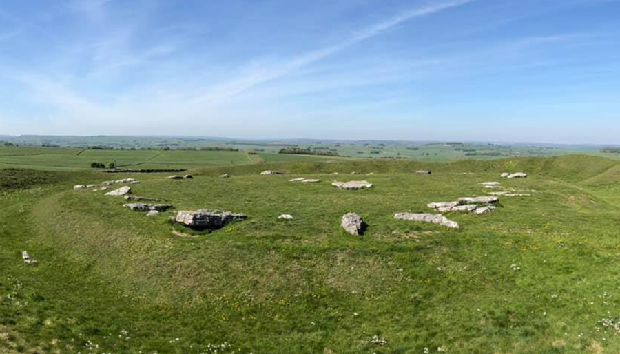
The Arbor Low Radials
🖤
Arbor Low is a stone circle which is known as the Temple of the Sun and is sometimes referred to as the Stonehenge of the North. It's situated roughly in the centre of the British Isles and is a place of earth energy that is crisscrossed with ley lines.
In the 1970s a group called the Dragon Project did some research here and found that at certain times of the year the stone seemed to be emanating ultrasound and electromagnetic signals.
Several of the ley lines on our map radiate from Arbor Low heading out in every compass direction and terminate in the Holy Island in Northumberland, Whitton Island at the western end of the Humber Estuary, Skegness, Walberswick Beach on the east coast, Christchurch on the south coast, the River Erme in Devon, and Caernarfon castle in north wales.
Two lines also stretch from Arbor Low to Ireland. One ending on Sheep Island and the Aughinish peninsula in County Limerick, Ireland.
St. Michael's Ley Line
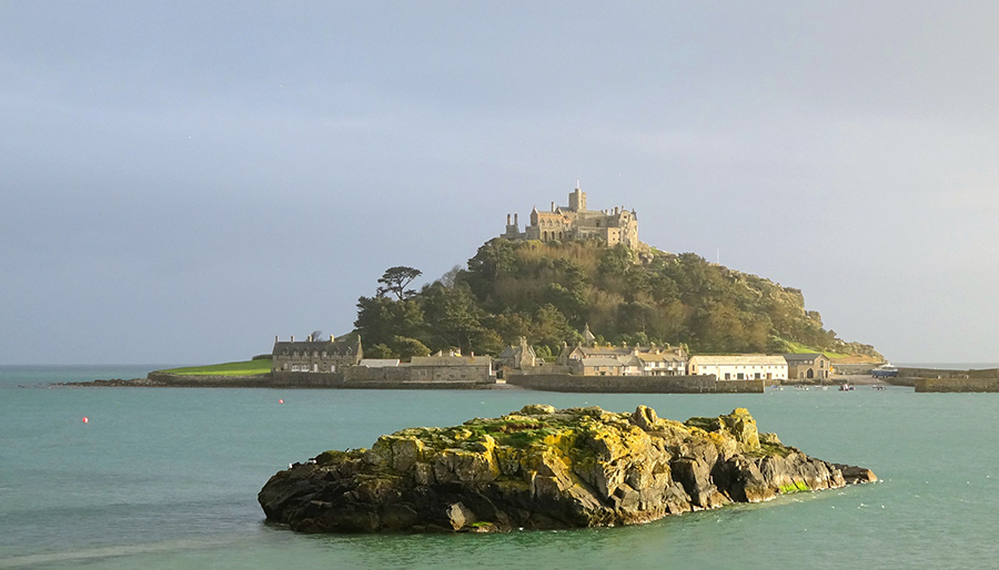
Photo: pixabay.com
One of the longest ley lines in the country and probably the best known is St. Michael's ley line. It spans 364 miles from east to west, covering the length of Cornwall, through Devon and parts of Wiltshire and ending at the eastern tip of Norfolk on the border with Suffolk.
The ley line passes through or close to several well known historic and prehistoric landmarks, including Glastonbury Tor and Avebury.
About This Video
Tom Scott explains the theory behind ley lines during a trip to Avebury henge, in Wiltshire on the day of the winter solstice. The stones are said to be the centre of a swirl of energy highways, ley lines as they're known.
The stone circle at Avebury is basically Stonehenge's lesser known cousin. The whole site is enormous, it's many times the size of Stonehenge. Enourmous earthworks, three stone circles.
Daily Horoscopes
Aries
If you find yourself over-reacting to financial challenges right now, ask yourself if you are not over-identifying with what you have, instead of who you are. You need to take a step back from your job and income, and realise... Read More